Malls
Stores, food court, parking, tenant promotions.
NaviGo guides visitors to the boutique door step by step. No app install, no beacons, no satellite.
Satellite signal doesn't get through the roof and walls. The phone shows a dot the size of half a gallery, or nothing at all.
Visitors go and ask at the info desk. The way to the same boutique gets explained hundreds of times a day.
Tenants in the far galleries lose footfall for one reason: visitors never get that far.
QR codes sit at the entrances, in the parking garage and at the wayfinding stands. The map opens in the browser and knows right away where the visitor is. Nothing to download.
Search by name, category or service. Restroom, ATM, exit, food court or the boutique you want.
The route guides you step by step and switches floors on its own at the escalator or elevator. Position comes from the phone's own sensors, so it works in the far galleries where the signal is weak.
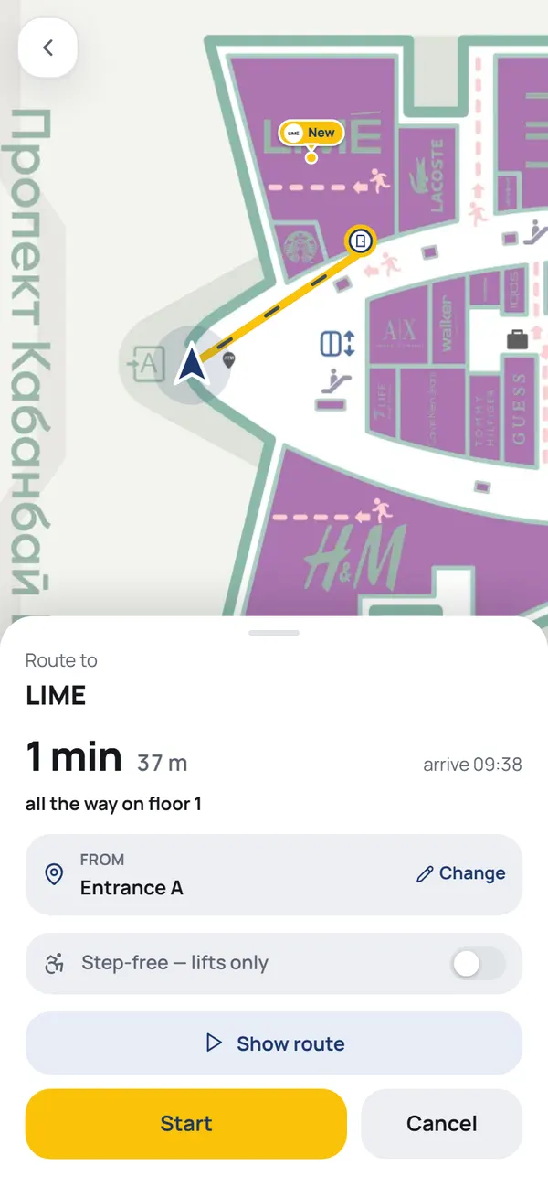

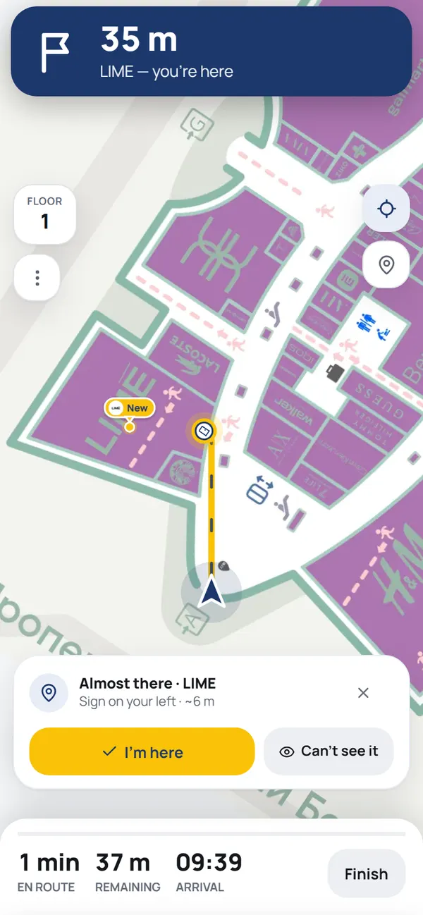
The navigation logic is the same; the vocabulary and the scenarios change: stores in a mall, boarding gates at an airport, rooms in a clinic.
Stores, food court, parking, tenant promotions.
Gates, check-in, passport control, walk time to your gate.
Stands and pavilions, the program, a route from your shortlist.
Rooms, reception, lab. Fewer late arrivals for appointments.
Platforms, ticket offices, waiting areas, exits to the street.
Navigation leaves a trail: which routes visitors build, which boutiques they reach, which galleries they walk past. It's the first reliable answer to what's really happening in the mall.
The brighter the line, the more visitors walk that gallery.
Message us on WhatsApp: tell us about the building, the floors and the tenants, and we'll say what's realistic and how long it takes.
Set up your venueNo. The map opens in the browser from a link or a QR code. It works on any phone.
No. Position comes from the phone's own sensors, starting from the point the visitor confirmed with a QR code or picked by hand. Nothing to install, no hardware to maintain.
Floor plans and one contact who can answer questions about the building. We map the galleries and boutiques ourselves, in our own editor.
In the manager's dashboard: rename a boutique, change its category or hours yourself in a minute. Tenants can be given access to their own listing.
Depends on the floor area and the number of floors. Message us and we'll price it for your mall.